Port Richmond
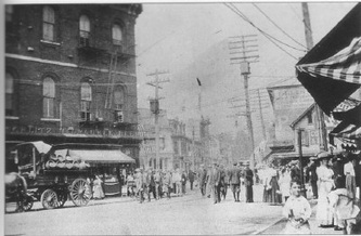
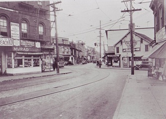
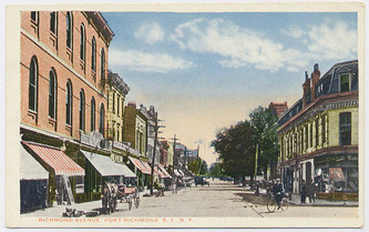
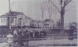
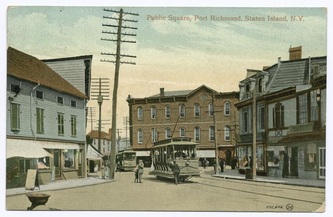
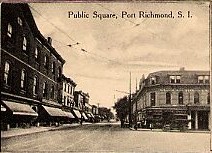
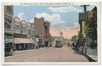
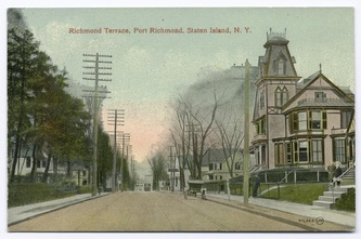
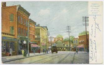
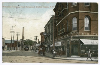
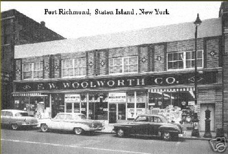
Port Richmond is a neighborhood situated on the North Shore of Staten Island. It is along the waterfront of the Kill Van Kull, with the southern terminus of the Bayonne Bridge serving as the boundary between it and Mariners Harbor, the neighborhood which borders it on the west. Formerly an independent village, it is one of the oldest neighborhoods on the island. In the 19th century it was an important transportation and industrial center of the island, but this role has vanished nearly completely, leaving a largely blue collar residential area bypassed by the shift of development of the island to its interior after the 1960s. The formerly bustling commercial center along Richmond Avenue (now Port Richmond Avenue) had been largely abandoned at the time, But in recent years many small businesses have opened in the area with the commercial activity shifting inland to Forest Avenue (or leaving the neighborhood altogether and relocating to the Staten Island Mall when the latter opened in the summer of 1973).
Early exploration and settlement
The first white European contact with Staten Island was recorded in 1524 by Giovanni da Verrazzano. In 1609 Henry Hudson established Dutch trade in the area and named the island Staaten Eylandt after the Staten-Generaal, the Dutch parliament. However, it was not until the mid-17th century that a mixed Dutch and French settlement was established at New Dorp. Settlers established a cemetery at nearby Port Richmond, which served as the burial ground for residents of northern Staten Island until 1696. The community of Port Richmond grew up around this cemetery, beginning with the Dutch Reform Church that was built there in the early 18th century. This colonnaded Church, still standing on Port Richmond Avenue was built in 1824 after a fire destroyed the original building. From those Dutch roots, Port Richmond evolved into a thriving waterfront industrial and transportation hub.The village incorporated as Port Richmond in 1866, the same year as the Staten Island villages of New Brighton and Edgewater.
Dutch Reformed Church Port Richmond has had many names through the years. In the late 17th century it was known simply as The Burial Place. Subsequently, the area was alternately known as Bristol, New Bristol, Irvington, Cyrene, and Cityville. These names were proposed, but Port Richmond eventually won out in 1866. The name "Port Richmond" was given to the place by Rev. Dr. James Brownlee of the Dutch Reformed Church
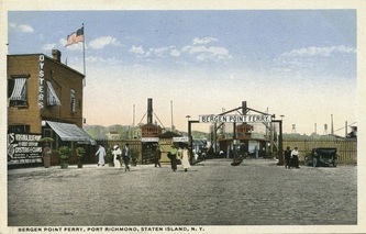
In 1700 the area was known as the "burial place" from a cemetery of the Reformed Church on Staten Island near the present Port Richmond Avenue along the waterfront. It later became a transfer point between ferries from New York City to New Brunswick, New Jersey. A ferry landing (called variously "Ryer's Landing", "Mercereau's Landing", and "Decker's Landing") was later constructed for a route linking Staten Island across the Kill Van Kull to Bergen Point (present-day Bayonne, New Jersey). The Bayonne Bridge was constructed in 1931 yet ferry service continued until 1962.
Click on photos below to enlarge
